“Exchanges are great opportunities to travel cheap and meet other people with same interests from all over Europe. EGEA is a unique association in University of Turku by offering short exchanges for its members”
How does it work?
In short, exchanges are usually being organized between two EGEA entities. Both entities visit each other and present visitors to their country and their culture. Exchanges usually last 3-7 days in each country and the accommodation is provided by local students at their homes. The idea is based on both a mutual desire to explore each other’s countries as well as hospitality. Still, it is not obligatory to accommodate visitors if someone involved can accommodate two or more people (that’s quite usual).
How much does it cost?
While traveling you only have to pay for the transport to destination and back. Accommodation, activities andfood is always provided by the hosts, which makes traveling with EGEA quite affordable. Of course it is the same other way around, common costs (including visitors food, activities, transport and rental saunas etc.) are usually around 50-80€ depending on how long the exchange is.
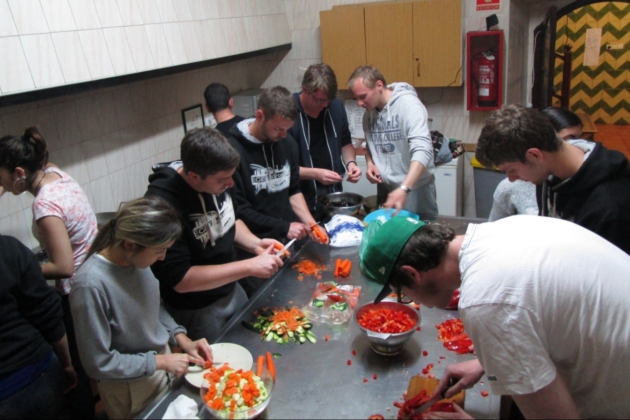
Example from 5 days trip to Belgium + re-exhcange.
Activities
The host entity is responsible to create fun and memorable getaway for the visitors. City tours, excursions nearby, eating local food together, naturetrails and watching sunsets are almost always included in the activities. Best part of it is that every entity has something unique to offer.
5 days exchange in Turku with EGEA Ljubljana.
Spending time with locals does not only help you to find the hidden gems but also to make friends from all over Europe with same interests. What’s better than traveling with people that are stopping in the same corners really?
Upcoming exchanges!
Novi Sad, Serbia. During Fall semester 2024. More info coming soon 😉
We in EGEA Turku have an ongoing tradition of organising one or more mapathons every year, and soon it’s time for the next one. This time I’m one of the organisers, but before getting my hands dirty, let’s discuss the very concept of mapathon: what is it all about? In this blog post, I will paint a comprehensive picture of recent mapathons in Turku, drawing examples from both EGEAns’ own experiences and web sources. After uncovering the current picture, I will continue to build on the plentiful opportunities mapathon has to offer. Because mapathon is a highly participatory process, I also invite the reader (You!) to imagine how mapathon and its guidelines could be developed in the future. Could mapathon become an even more inclusive and easily accessible activity? Could that attract new people to participate and organise mapathons, both locally and globally?
Map-a-what?
Basically, mapathon means “map marathon”. It’s an event where volunteers gather to cocreate geographic information; running a marathon is usually not involved. Actually, isn’t it a bit far-fetched to compare mapathon to marathon at all? First of all, mapathon usually isn’t as long an event as marathon. And even more importantly, mapathon isn’t a competition, but everyone is invited to join mapping on their own skill level instead. After all, there are things in common too: participating in either a marathon or a mapathon can be rewarding and inspirational. Maybe better said in Finnish: mapathonissa on suuren urheilujuhlan tuntua!
Mapathon is also a member of a vast family of other participatory, oftentimes non-competitive and always lightheartedly geeky events known as hackathons and editathons. Some recent examples of these other events include Hacklab Summit Finland, Ympäristötiede Wikipediaan! -editathon, and lastly, Hack4OpenGLAM, in which I have participated a couple of times.
If the variation between different kinds of hackathons sounds overwhelming, that indeed can be the case between different types of mapathons, too. However, the most common type of a mapathon is actually very particular: editing OpenStreetMap for pedagogical and/or humanitarian purposes. For example, Green, Rautenbach & Coetzee evaluated university students’ motivation during humanitarian OpenStreetMap mapathons in their article published in 2019.
OpenStreetMap is one of the best-known examples of participatory GIS – I would call it “the wikipedia among maps”. It is suitable for mapathons for numerous reasons: it is published under an open licence, provides global map data and that data is relatively easy to edit with a variety of websites, GIS programs and mobile apps. For these reasons, all of the mapathons I use as examples in this blog post are based on editing OSM. And even if this is an EGEA blog, OSM here doesn’t mean “Organisation and Strategy Meeting” but indeed OpenStreetMap.
Pedagogy, humanitarianism and development cooperation, on the other hand, are common motivators of mapathons. They can also go hand in hand, as Case #1 in the next chapter will show. However, there is an even broader range of possible reasons to organise a mapathon. Next, I will cover some reasons using a total of 3 recent case examples.
The current picture of mapathons in Turku
Case #1: Humanitarian OSM @ Kerttuli Upper Secondary School & Mwanza, 2019
Since the 2015 National core curriculum (LOPS), Geography teachers in Finnish upper secondary schools have had a new challenge: they have to find a way to demonstrate the use of “geomedia” by starting participatory, transversal and socially involved student projects. The humanitarian OSM mapathon is already proven to be an excellent tool for that, and our experiences in Turku make no exception. This October, I interviewed Aino Saarinen, an EGEA Turku alumna, on her experiences in organising such mapathons.
According to Aino, mapathons are often organised as a part of students’ optional specialisation studies. Because of that, participants are motivated to learn new mapping skills. The usual workflow looks like this: Firstly, students create their OSM accounts and log in to HOT-OSM Tasking Manager. It is a tool for organising public or private mapping projects for disaster response or other humanitarian purposes. The topical purposes change continuously: while I’m writing this blog post, one of the most urgent HOT-OSM projects consists of mapping roads and rivers in Guatemala as a response to Hurricane Julia. After logging in, each student chooses their own HOT-OSM task – a small piece of land in the project area. Finally, students use iD, the default web interface for editing OSM. For this to succeed well, participants have to get some help with their technical and practical problems.
A successful humanitarian mapathon was organised at the Kerttuli Upper Secondary School on October 10, 2019. Students mapped tasks in Mwanza, Tanzania, while local university students in Tanzania validated the quality of edits. Meanwhile, EGEAns in Turku helped students with mapping. According to Aino, the organisers could then get academic credits in return.
Case #2: Mapping archipelago of Nagu w/ Projekt Fredrika & EGEA Leuven, 2021
In Autumn 2021, students from Leuven, Belgium, visited us in Turku for an EGEA exchange. I came up with an idea to organise a semi-informal mapathon for the visiting students. Because the visitors were yet to familiarise themselves with Finland, I decided that we would take part in some local mapping project. In that way, the objectives for this mapathon were also pedagogical.
I chose that we would be mapping islands in Nagu (Nauvo), Southwestern Finland. Mapping the islands was started as an initiative by Projekt Fredrika rf, a NGO that aims to improve the representation of the Swedish-speaking Finns on Wikipedia. For example, Projekt Fredrika improves the Wikidata objects of islands that are located in traditionally Swedish-speaking areas. Our task was to link these items as attributes of the islands in OSM. This task turned out demanding, so we also defined coastlines of the islands in OSM. The participants told that they enjoyed the event. When compared to their usual geography studies, this time they could see the fruits of their labours in a more concrete way.
Case #3: Lounaistieto @ UTU Open Data Festival, 2022
On May 5, I participated in a mapathon that was jointly organised by University of Turku and Lounaistieto Regional Information Services, a mostly government-funded organisation providing open data on Southwestern Finland. A bit like EGEA Turku, Lounaistieto already has a tradition of organising mapathons, but for different purposes. Editing OSM is of interest to Lounaistieto because many local web services use OSM as a dataset. One such service is the routing engine by Föli, the public transport system in and around Turku. Earlier, there have been mapathons to make Föli’s routing work better, such as this one together with Digiroad and Digitransit back in 2019.
This time, our task was to improve service information data of Turku in OSM using a dataset provided by Lounaistieto. The dataset consisted of local services such as bakeries and ATM machines. The services were categorised by the neighbourhoods of Turku. I chose to improve the data around the hoods of Varissuo and Itäharju – two localitities that were very familiar to me at the time. I used the iD editor and when I was done with editing whatever service, I logged my changes into a Microsoft Excel file shared by Lounaistieto.
I felt proud that I could utilise my local everyday knowledge in the project. However, I couldn’t help but notice that it was impossible to perform some of the tasks while sitting at my laptop: I just simply hadn’t got enough information. Instead, I should have done on-site observant fieldwork! That inspired me to seek for alternative ways: it’s about time to rethink the mapathon.
What else could the mapathon become?
To rethink the mapathon, I’ll go back to basics. One of the very first events called a “mapathon” was organised in Atlanta, United States back in 2009. According to BBC News, there were around 200 volunteers, “sneakers on the ground going around mapping everything” in Atlanta. I want to reiterate that this was 2009! The smartphone was still a new invention – possibly just fascinating enough to give it a try in this new kind of hackathon.
What has happened since then? Have smartphones become too commonplace and, as such, too mundane for mapathons? Thankfully, that is not the case. Instead, there are new tools to coordinate mobile mapathons – why not try one of these tools? It’s time to ask what the mapathon will be like when running around actually is involved. Let’s find out and make mapathon mapathon again!
Case #4: Our upcoming Geography Awareness Week mapathon, 16.11.2022
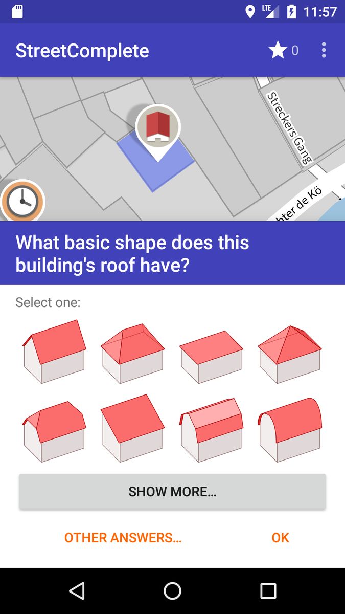
On November 16, EGEA Turku will organise a mapathon as a part of the 35th Annual Geography Awareness Week. Starting with a short introduction at 16:00 EET, participants can then scatter in the darkness of autumnal Turku, either independently or in groups. We will be using the Team Mode of an OSM editor app called StreetComplete. On StreetComplete, participants can easily map for example street lights and roof shapes. In my experience, the app is just as easy to use as, say, Pokémon GO. After mapping for a while, any willing participants can then join again to share their experiences – or maybe have a refreshing drink together at our beloved campus pub, Proffan Kellari.
a StreetComplete task
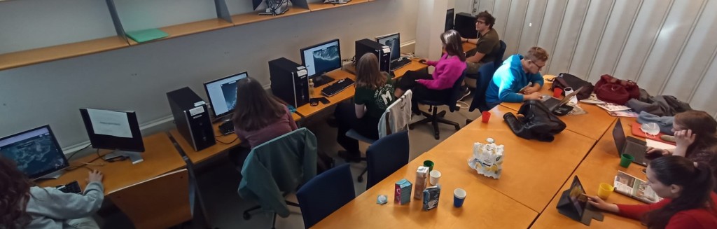
Even if StreetComplete is easy to use, it unfortunately is only native to Android. For this reason, we will have to offer alternative ways to participate for people that don’t own an Android device. Secondly, walking isn’t an ubiquitously accessible activity either: sometimes it rains, some places are forbidden or dangerous to enter, and mapathon participants can have different abilities and mobilities. There has to be plan B! Therefore, the people not wanting to run around will form our “validation team” – staying indoors, sitting comfortably at computers, chit-chatting and maybe drinking some hot chocolate. That’s what I call hygge!
In my opinion, our upcoming mapathon will be an interesting chance to develop the concept of mapathon. However, it shouldn’t and willn’t be the last chance. Please, have a moment to think about how you would organise a mapathon – maybe even leave a comment below. Together, we can aim towards more inclusive guidelines for mapathon.
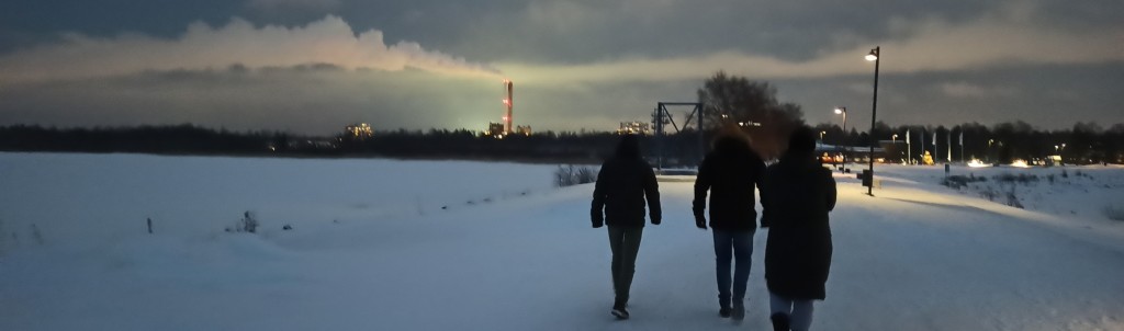
Oulu by night, EGEA Suomi weekend, 2021
Paavo Jordman
is in charge of equality in EGEA Turku and is majoring in European Ethnology. He advocates open science and sometimes cooks eggs in a microwave oven. (It tastes good, he insists!)
EGEA Turku
is a small but agile organisation always interested in new members and partners. If you would like to organise a mapathon with EGEA Turku, please contact us by email or on our social medias.
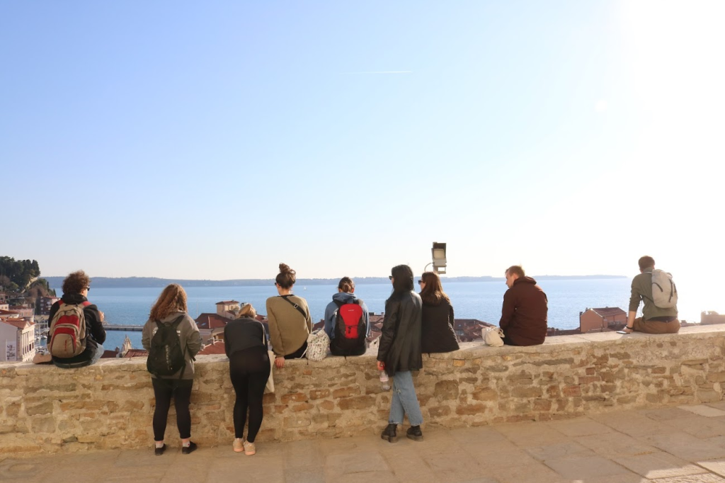
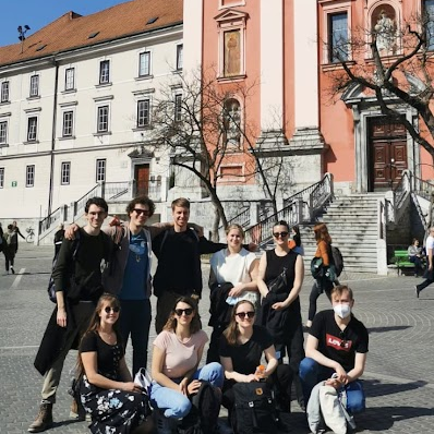
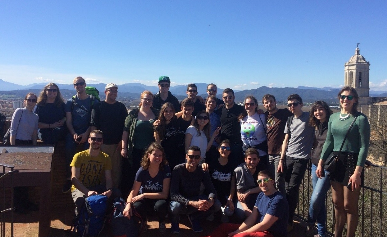
EGEA Turku visited EGEA Ljubljana in March. During the exchange we got to know awesome people, admired the magnificent lake and mountain scenery and got to know the Slovenian culture. We also wrote about the exchange to the EGEA Ljubljana’s magazine:
The abnormal times are over, and it is finally a time for new EGEA exchanges. We are EGEA Turku from Finland and we got to start our spring with fabulous EGEA Ljubljana! Here’s how it went…..
Exchange We got to taste a whole menu of Slovenian cuisine during the week, but our first cuisine was students’ favourite, Burek! After a long day of travelling, Burek was a kick starter for the week. During the week, we got to explore Slovenia with handy car rides. We knew that Slovenia is a very small country, but I think it really surprised us, how accessible the different parts of Slovenia really were. This was a pleasant surprise and we were really glad to get to know so many different places.
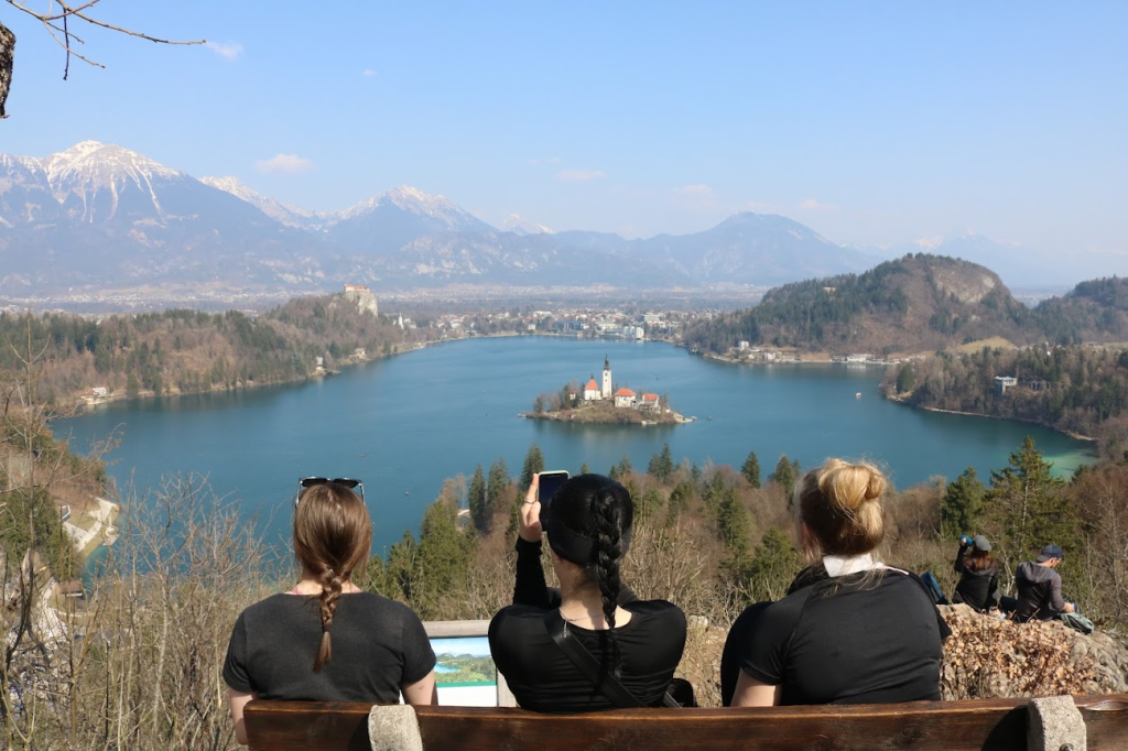
Lake Bled
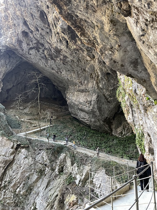
The most used word for the week was probably “exotic” since we got to explore so many places that are not possible to discover in Finland. The most magnificent destination was probably the Škocjan caves that impressed us by their size and uniqueness. We were also very glad of all the hidden gems that only were accessible thanks to the professional guides we got to explore with.
Škocjan cavesPiran
Similarities During the week we had some very interesting discussions about the similarities and the differences between Finland and Slovenia. I think we all came to a conclusion that our countries, especially people, are not that different after all. One thing we obviously have in common is the love for outdoor lifestyle. We Finns really love spending time in nature, and it was great to see that you Slovenians share that interest. Weekend is not complete without a small hike to the surrounding nature. For you it means mountains and lakes, for us mostly swamps and other not-so-spectacular landscapes. But what can you do, it’s still nature.
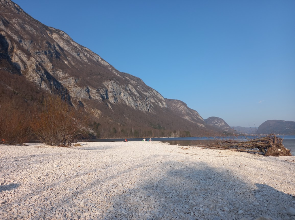
Lake BohinjMore huge caves…
More surprisingly, you Slovenians are extremely punctual, just like us Finns. Well, at least some of us… However, your punctuality is easy to understand. You guys want to be kind to others, just like you were to us, and that’s why you don’t want to make other people wait for you. Finns are not so well-known for being kind, so we probably have different, yet unknown, reasons to be punctual.
Predjama Castle
Living nature like mammals and trees were also surprisingly similar in Finland and in Slovenian heartlands. Even that surprising for one (not to mention any names) geographer with biology as minor subject, that he was not prepared at all to face and breathe similar pollen in Slovenia as in Finland, but many weeks earlier. Thank God it was coronatime, so he had proper armament for resistance!
Beauty (and pollen) of Ljubljana
We also got to prove some allegations wrong, for example, someone’s teacher had showed her class a video of a Finnish school system, which had painted a picture of us only having fun at school, with no homework or anything. We definitely are proud of our school system, but that is not how chill it really was 😀
Most of the Slovenians really laughed at us when we pointed at Finland as “one of the small countries” but on a bigger picture, that is how it is. And I think that is also what makes us a bit similar as nation. Also, both of us are surrounded by the bigger neighbours and share a history with being a part of bigger empire. This lead us joking about having a brotherhood and we even started to plan a big jugofennic imperium.
Happy people of the jugofennic imperium
Differences The most jealous we got about your student discount for the student meals! We have some student discounts as well, but yours sounds like a dream come true with its variability.
One of our many picnics
Overall Slovenia really left us breathless with its massive mountains, beautiful lakes, generous and unselfish people, untouched nature, deep caves (….and affordable wine). It is impossible to understand how such a small country can have such unique and diverse places. We were also pleased how tourist friendly country Slovenia was, even though we ended up hoping that an extensive mass tourism will never reach its unique, untouchable nature so it will stay as amazing as it is right now.
It really warmed our hearts to hear that having a tour with us opened our hosts’ eyes for the beauty of your own country. You really have it all fitted in a cute miniature size, preach it and enjoy!!
Also, the warmest and biggest thank you for our amazing hosts for showing us so many variable places all over Slovenia. Most of the places would not have been reachable while independent traveling. Thank you for also sharing so many stories about Slovenian and Yugoslavian history and your personal lives. We really appreciated the effort you had put into this and how you welcomed us to your homes and lives!
Ciao tutti! I am currently enjoying the Italian sun in Padova, where I’m doing my exchange semester this spring. But no need to worry, the activities of EGEA Turku will continue at full speed! And since we have finally been able to organise proper events and exchanges, we decided to bring our blog back to life after few years.
We’ve already arranged two exchanges, one with EGEA Leuven and one with EGEA Ljubljana! There’ll be more exchanges coming next fall, so you have lots of chances to participate in one if you couldn’t this spring. More info can be found on our social medias and our event calendar, when we have all the details!
This year we’ve decided to organise at least one event each month (the only exceptions are June and July, when our board will be enjoying their summer break). We have created an event calendar, where you can find all the upcoming events and all the details needed. The calendar can be found in the description of our WhatsApp-group. The next time you can meet our people is at the TYYlikäs Satanen on 31.03. There you can buy our overall patches and enjoy the fun program of the event. In April you can expect some fun and traditional vappu events, including BDC ofc!
Overall, I am very excited for this year and all the fun events and exchanges we’ll be having. In this years board, we have both old and new actives of EGEA Turku, and we’re excited to invent new traditions along the old ones. You can found our introductions on Instagram (@egea_turku). We are hoping to get even more new people to join us next fall. If you haven’t registered as our member yet, use the link in the QR-code to access the form.
Text By Iida Pyykkö, Ilja Vuorinne & Mikko Keski-Laturi Photos By Ilja Vuorinne & Sanna Kujala
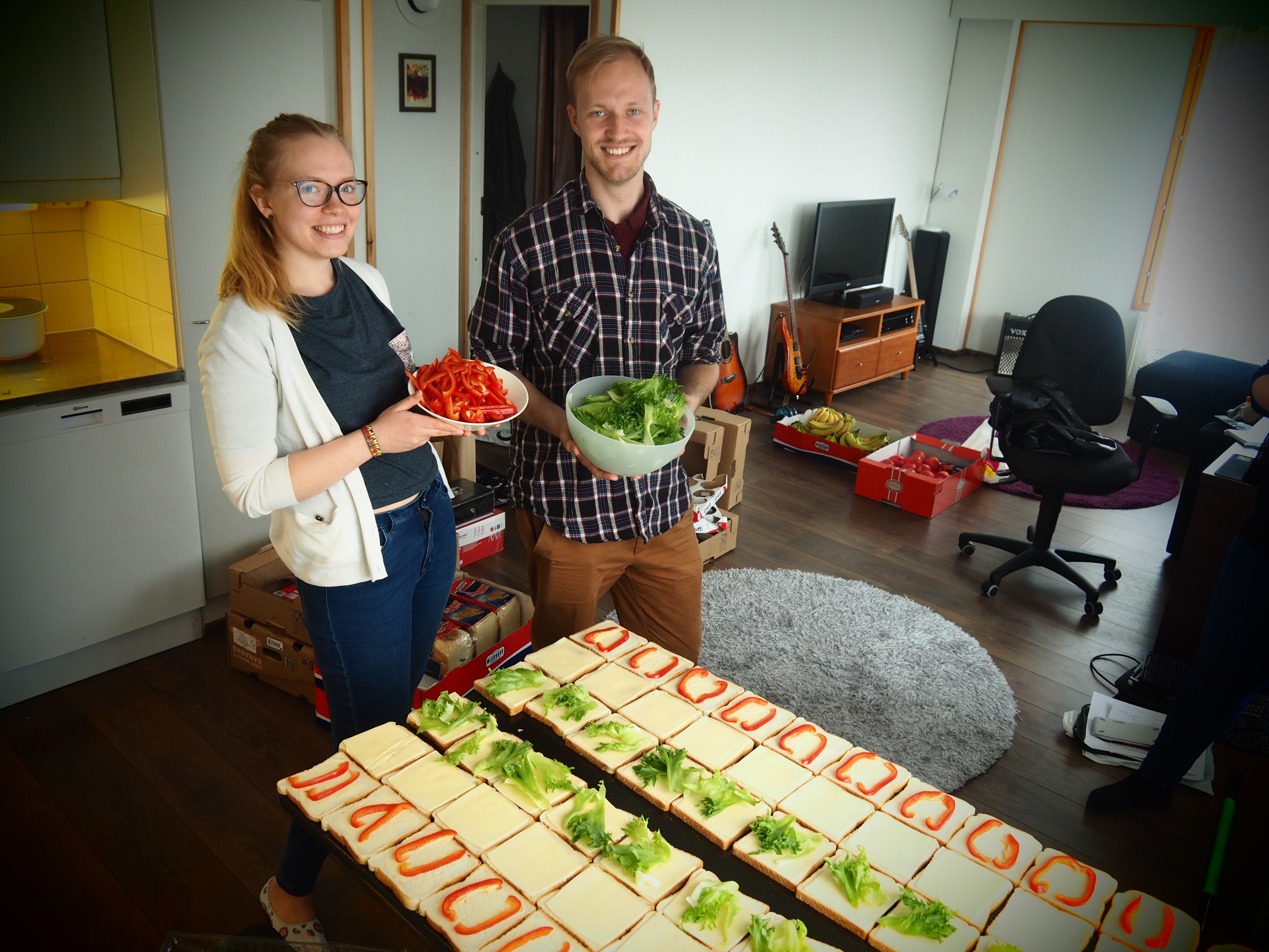
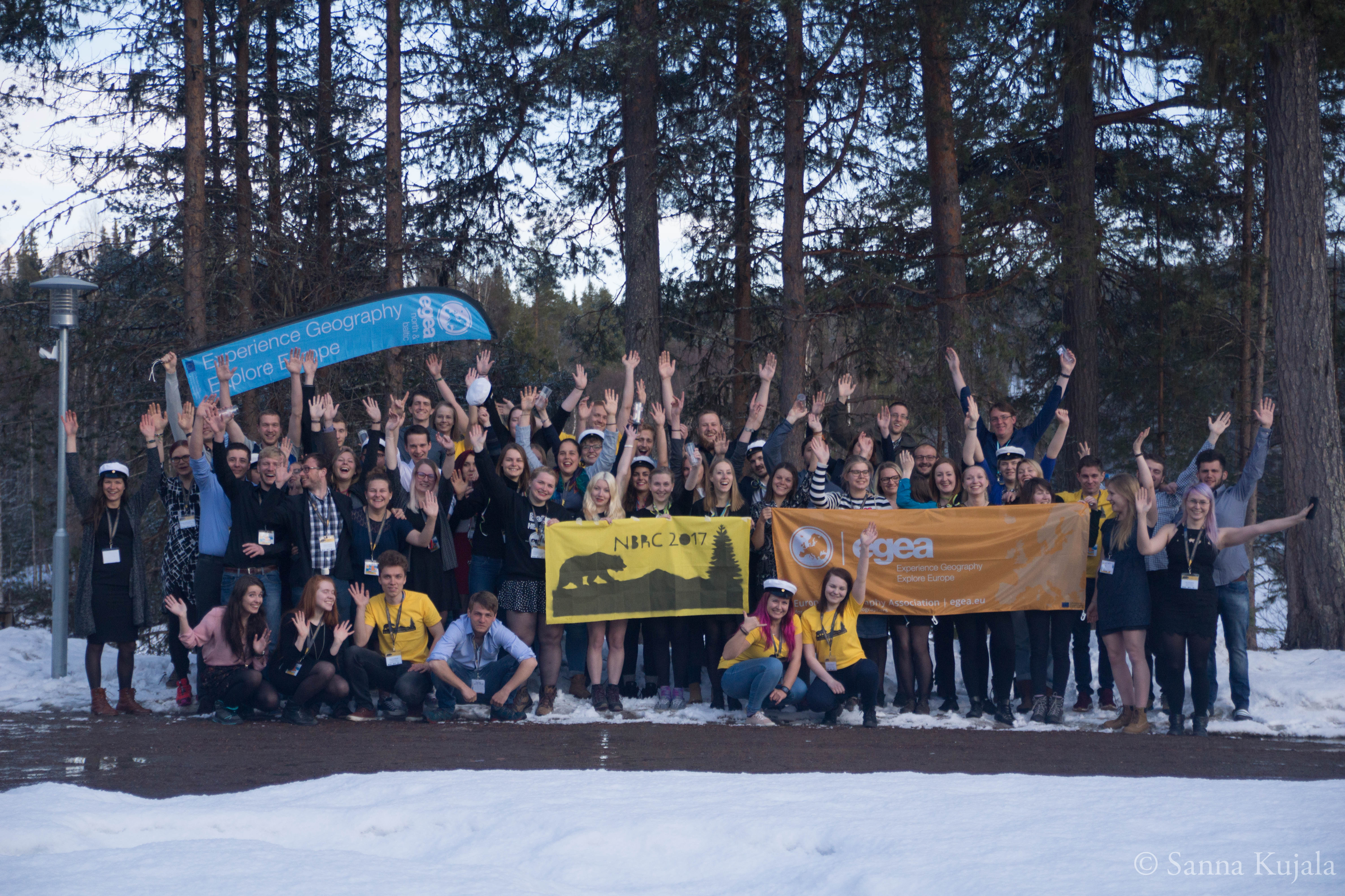
We started our congress journey from Oulu the weekend before North and Baltic Regional Congress. We worked night and day in Oulu and at the congress in Oulanka but it all really was worth it!
Preparing toasts for the participants
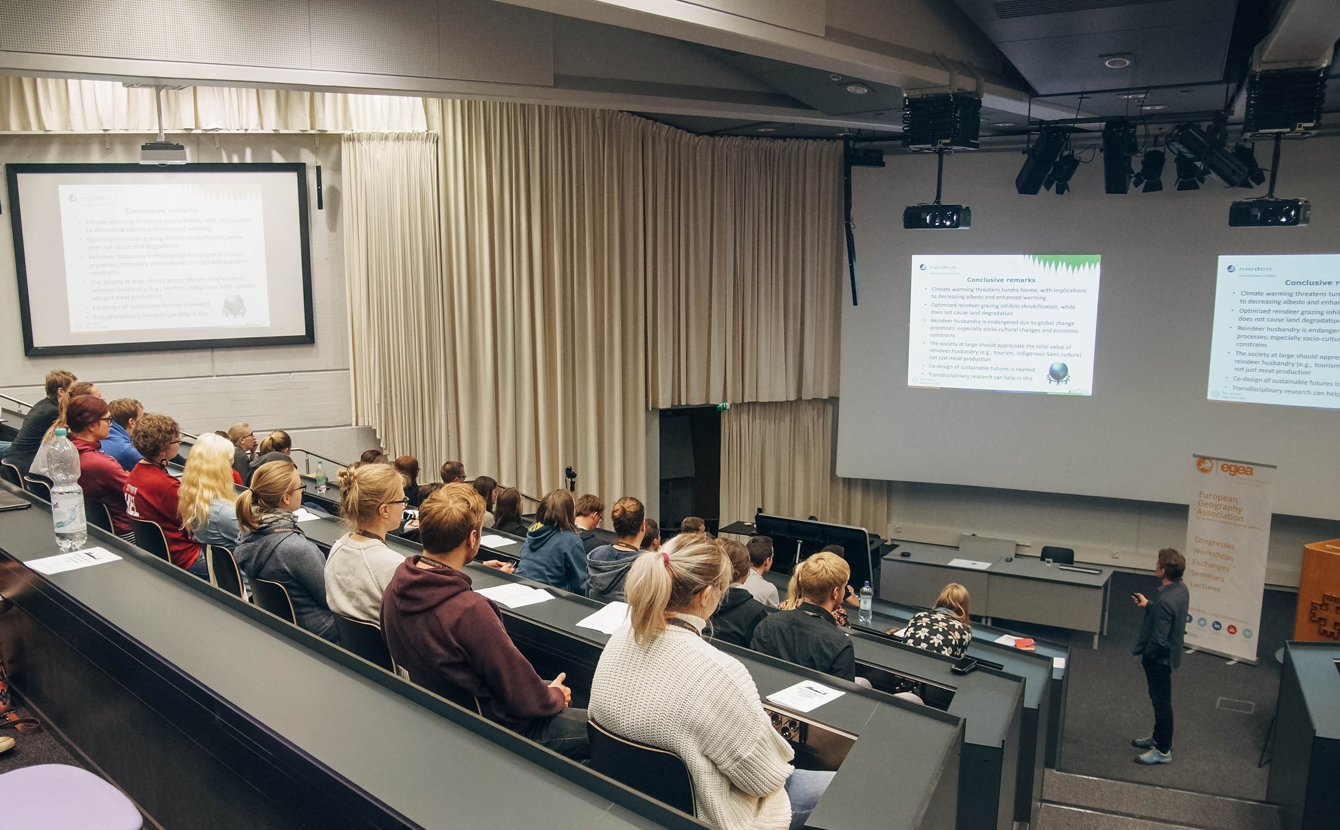
After the Oulu weekend, we were ready for the congress and excited to meet the participants at the University of Oulu where the opening ceremony took place. We, the helping hands, were welcoming our guests and doing some preparations already in Oulanka. Meanwhile, the Orga team opened the congress and after that participants were also lectured about the reindeer herding in the northern Finland.
From the opening ceremony at the University of Oulu
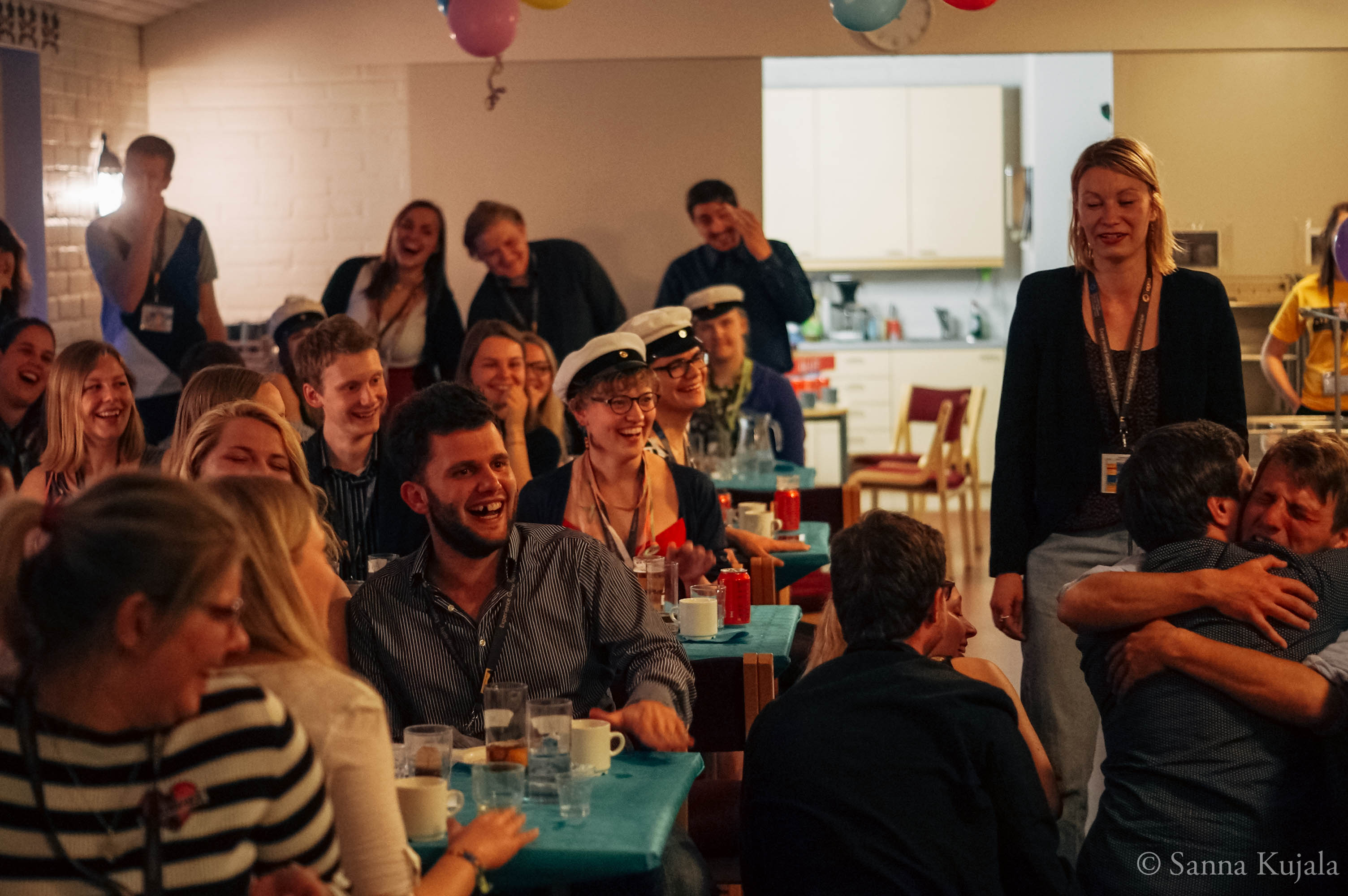
The first day, we arrived to the snowy, winter-wonderland-like Oulanka. First, after the long trip, we had a small chaotic feeling but we managed to find rooms for everybody and were ready to start preparing the sitsit. Some of us were working as waiters during this traditional Finnish student event but it was still very fun, especially when we saw all the participants enjoying the party and atmosphere. We noticed that the sitsit was the final ice breaker and people even were asking if it is possible to organise this unique event again.
“Sitsit”, a tradiontal finnish student party
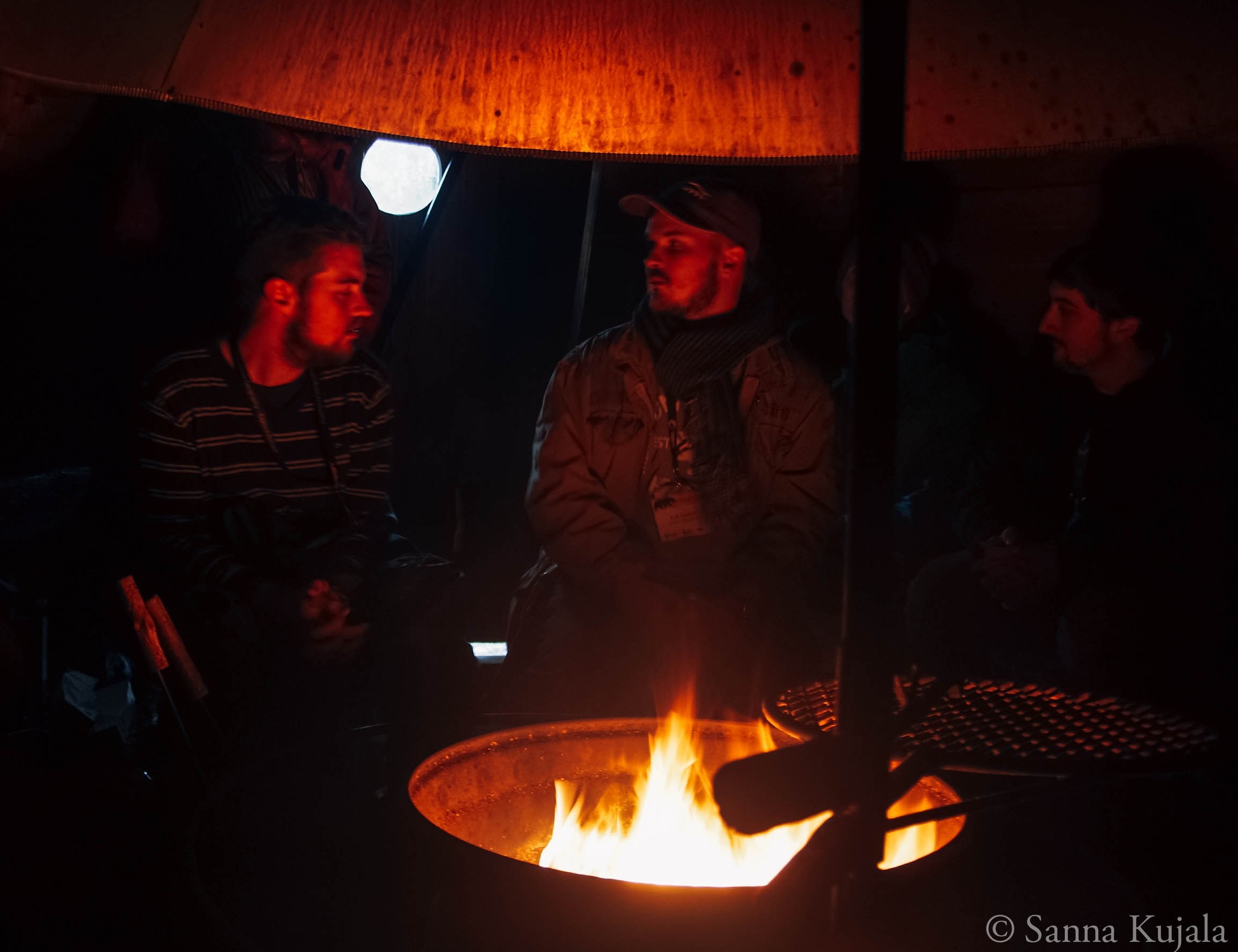
During the evening program, we were working in the bar or in the party room as DJs but had still a lot time to time to get to know other congress participants all around Europe and show them some sauna traditions, for example. Sometimes our night shifts lasted until 7 am so we were working hard during the congress week.
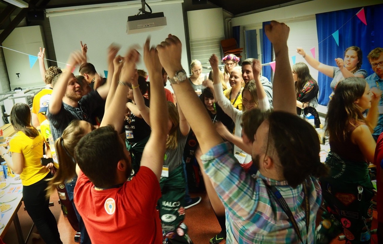
The second day started with the workshops. In the evening, we experienced a true EGEA tradition, the Cultural Fair. And what an experience it was! Delights and drinks from all over the Europe and such an amazing atmosphere during the whole night. This was a great way to get to know EGEA spirit, later EGEA classics like Moskau and Schatje mag ik je foto? took us to the EGEA flow on the dance floor.
Cultural fair mayhem
The next day, it was time to explore the nature of the Oulanka National Park, before starting to prepare the Finnish night. This was a highlight for us as we started to Finnish our dear participants with Finnish names. After this Christening ceremony, there was a bunch of Finns, such as Pirjo-Riitta, Kyösti, Vale-Tiina, Minttumarja, Molla-Maija and Matti & Teppo, hanging around the Oulanka Research Station for the rest of the congress.
Excursion-day scenery
Hanging out in a traditional Finnish ”kota”
Last day and more workshops for the participants. In the evening, it was time for a closing ceremony where we received our certifications with a huge applause. At this point we really felt how people appreciated our work at the congress, and wow, what a feeling after all this! Later that night, another EGEA tradition, the BDC. We could sense that this was something that people had been waiting for. And we could see why. If you want to see what it is all about, sign up for the next EGEA congress!
We didn’t sleep during the last night so in the morning, tired but full of enthusiasm we partied all morning long, had time to admire final winter landscapes in the bus and said goodbye to all our European friends in Oulu before heading back home.
The whole congress crew – organisers and participants
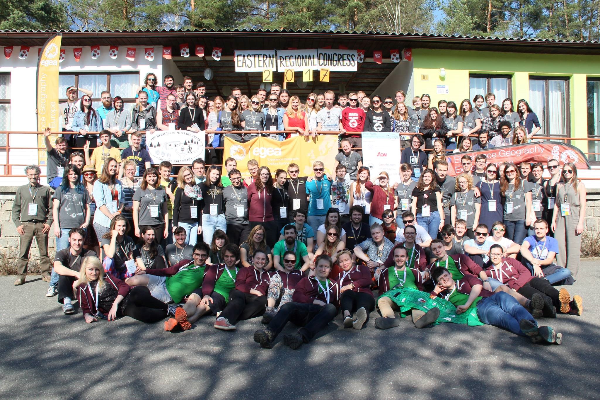
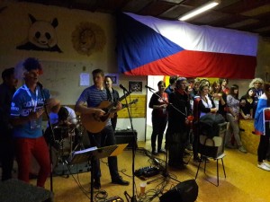
Eastern Regional Congress (ERC) 2017 by EGEA Praha in Hrachov, Czechia was my first EGEA congress ever. The congress week taking place in the beginning of April (31.03.-05.04.2017) was intensive and full of program and truly a great experience! EGEANs from 28 entities representing 18 countries got to learn during the congress about the heritage of military areas, how opening of a former military area to the public can be managed. As a case study, we had the Brdy former military area, now a protected landscape area open for public, located very close to Hrachov.
ERC 2017 group picture (Photo Aneta Seidlová)
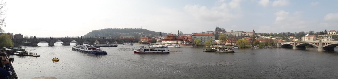
After having explored Prague for a couple of days, it was time to head to the official opening of the ERC 2017 at the Faculty of Science of the Charles University (Univerzita Karlova). Before the opening ceremony, we had time to see the Albertov Street campus of UK, for example the magnificent map collections and just relax at the university in a summer-like atmosphere. During the opening ceremony, we learned a lot, for example, about the Brdy former military area and why to call Czechia Czechia and not Czech Republic anymore.
Opening ceremony (Photo Aneta Seidlová)
From the opening ceremony we continued our way by bus to Hrachov, a small village in the Bohemian countryside, that was now going to host more than 100 EGEAns during the congress week. Our accomodation, RS Star Line, was located in a beautiful place next to a river and surrounded by woods. During the congress days, we were studying the heritage of military areas from various perspectives covering both physical and human geography during lectures and workshops. Also events like regional meeting, EGEA fair and training sessions about different topics, such as low-cost traveling and dumpster diving, took place during the congress.
One of the highlights of the congress was the excursion day. The congress participants had a chance to choose one excursion out of five options having different focus to the Brdy area, such as hiking on the Brdy mountains, visiting a former military base and exploring the nearby cities and towns. I participated to the Přibrám city excursion.
Mining museum
During the day we visited the Přibrám Mining Museum (and even went underground there which was super exciting!), had a lecture at the Přibrám city hall by the municipality representatives about effects of the Brdy former military area for the city, had delicious Czech pastries in a local café, and finally climbed all the stairs up to the beautiful Svatá Hora pilgrimage site.
The congress contained also a lot more than the official part. During the workshops and free time we had time to enjoy the heat wave embracing Czechia and chill outdoors. The evening program was fantastic consisted of, for instance, Military Night and orienteering, Czech Night with some live music, Eurovision talent show and of course, a wonderful EGEA classic, the Cultural Fair.
For me, the best thing during the congress was definately to meet old EGEA and to get to know many new ones from all around Europe! I had never visited Czechia before so it was also great to see Prague and Czech countryside and learn about the Czech culture and nature. Not forgetting the Czech food and the excellent beers!
Boom Boom Boom – what an adventure Catalan Experience 2.0 (04.-08.03.2017) by EGEA Barcelona was! During five days in Catalonia, we participants got to live like Catalans, see Catalonia’s beautiful landscapes and meet EGEAns from all over Europe.
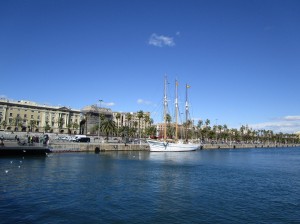
Before heading to the event location, Pineda de Mar, we had a walking tour in downtown Barcelona. After the Finnish winter, it really felt like summer in this sunny capital of Catalonia!
After the Barcelona tour, we took a train to Pineda de Mar, a coastal town by the Mediterranean, and headed to our accomodation, Sant Pere de Riu.
The beautiful atmosphere of this place and the legend of Santa Marina de Pineda de Mar really mesmerized us. The absolute highlight of the first day was the salsa master class during which our international EGEA group was engrossed by the Latin rhythms.
The next day, we headed for a hiking excursion to the peak of Turó de l’Home in Montseny. The views from the snowy mountains were breathtaking – you could see even the Pyrenees, Montserrat and Barcelona from Turó de l’Home.
One part of exploring Catalonia during the excursions was getting lost but we always made it back to Pineda de Mar J After spending the day in fresh mountain air, we were ready to become true Catalans during the Catalan Night. Porron, Caga Tío and sardanas – just to name a few fascinating aspects of the Catalan culture we got introduced to.
On the third day, we went for an excursion to the towns of Girona and L’Escala. Girona is an amazing old city in the Northern Catalonia and I really enjoyed the atmosphere of the old town and the views over the roofs of Girona! From Girona, we continued to Punta Montgó and L’Escala on the coast. Again amazing views to the Pyrenees and to the Mediterranean!
Back home in Pineda de Mar, we were ready for an EGEA tradition – the Cultural Fair. This time, we got to enjoy the bounties of Catalonia, Czechia, Finland, Germany, Hungary, Italy/Veneto, Latvia, Lithuania (aka Andalucía), the Netherlands, Poland, Russia, Slovenia and the United Kingdom.
The last full day of Catalan Experience 2.0 we spent in Pineda de Mar. During the day we were exploring the town in varies activities, including searching for a Roman acqueduct and chilling on the beach.
In the evening, we got to release our inner master chefs as the organisers taught us how to cook fideuá, a typical Catalan dish. Such fun and so delicious!
The last day I left Pineda de Mar quite early and visited Barcelona. On the flight back to Finland, it was quite a coincidence to meet some of the organisers from EGEA Barcelona who were going to have an exchange with EGEA Joensuu! Hopefully their trip to Finland was as good as mine was to Catalonia! Catalan Experience 2.0 was a very good event – I feel so happy of being Catalan for five days and definately want to visit Catalonia again! I really recommend EGEAns to participate to the next Catalan Experience! 🙂


 After the Barcelona tour, we took a train to Pineda de Mar, a coastal town by the Mediterranean, and headed to our accomodation, Sant Pere de Riu.